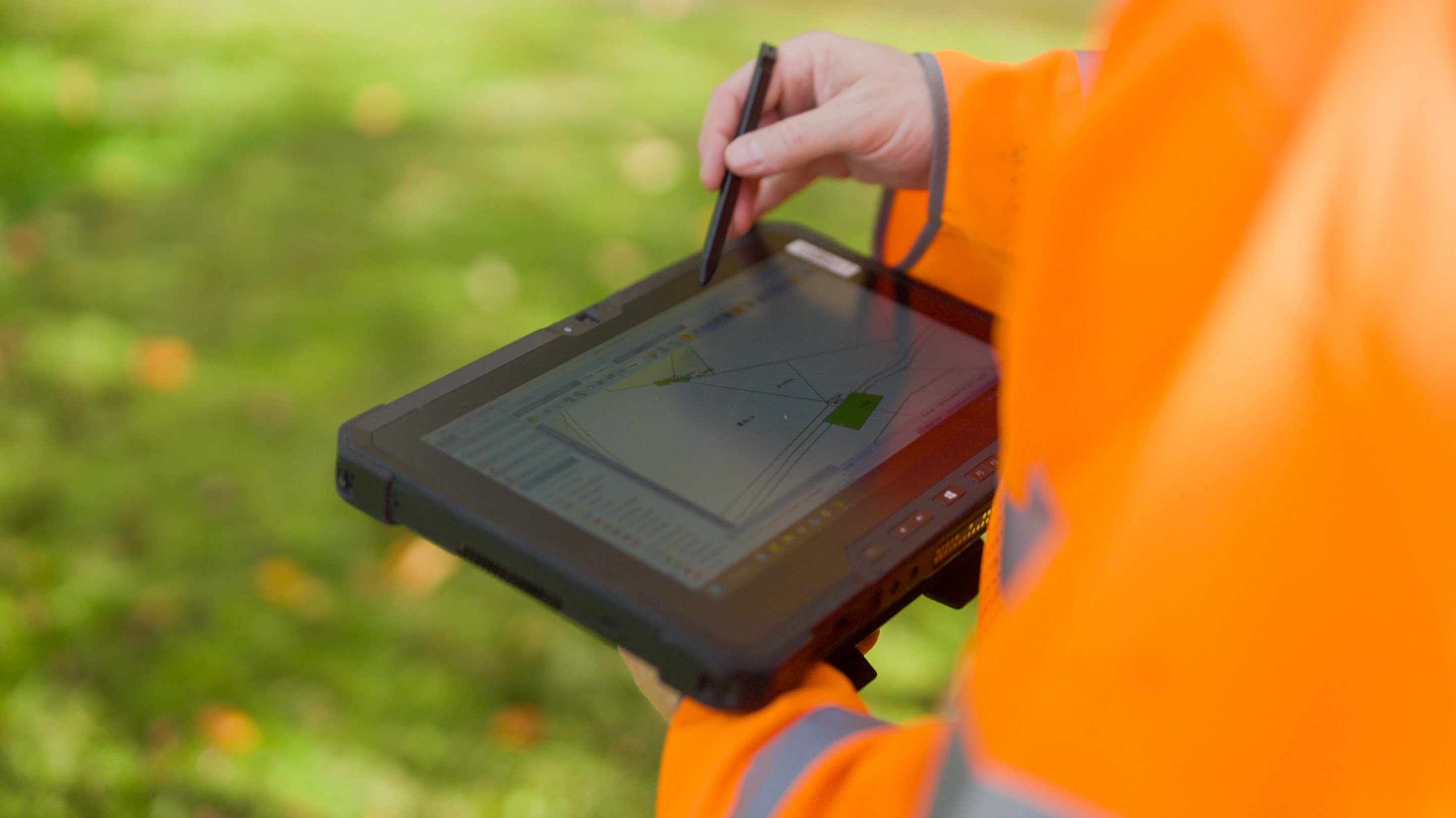
Modern, digital and built for high-quality delivery — UA-5's digital platform is the operational backbone of every programme we run.
UA-5 uses a digital surveying platform as the backbone of our operations, enabling us to manage every element of surveying, vegetation management and outage management with precision, speed and full traceability.
By capturing data, photographs, forms and consents directly from the field, UA-5 removes manual paperwork, reduces errors and ensures information flows instantly from site operatives to our management and quality assurance teams.
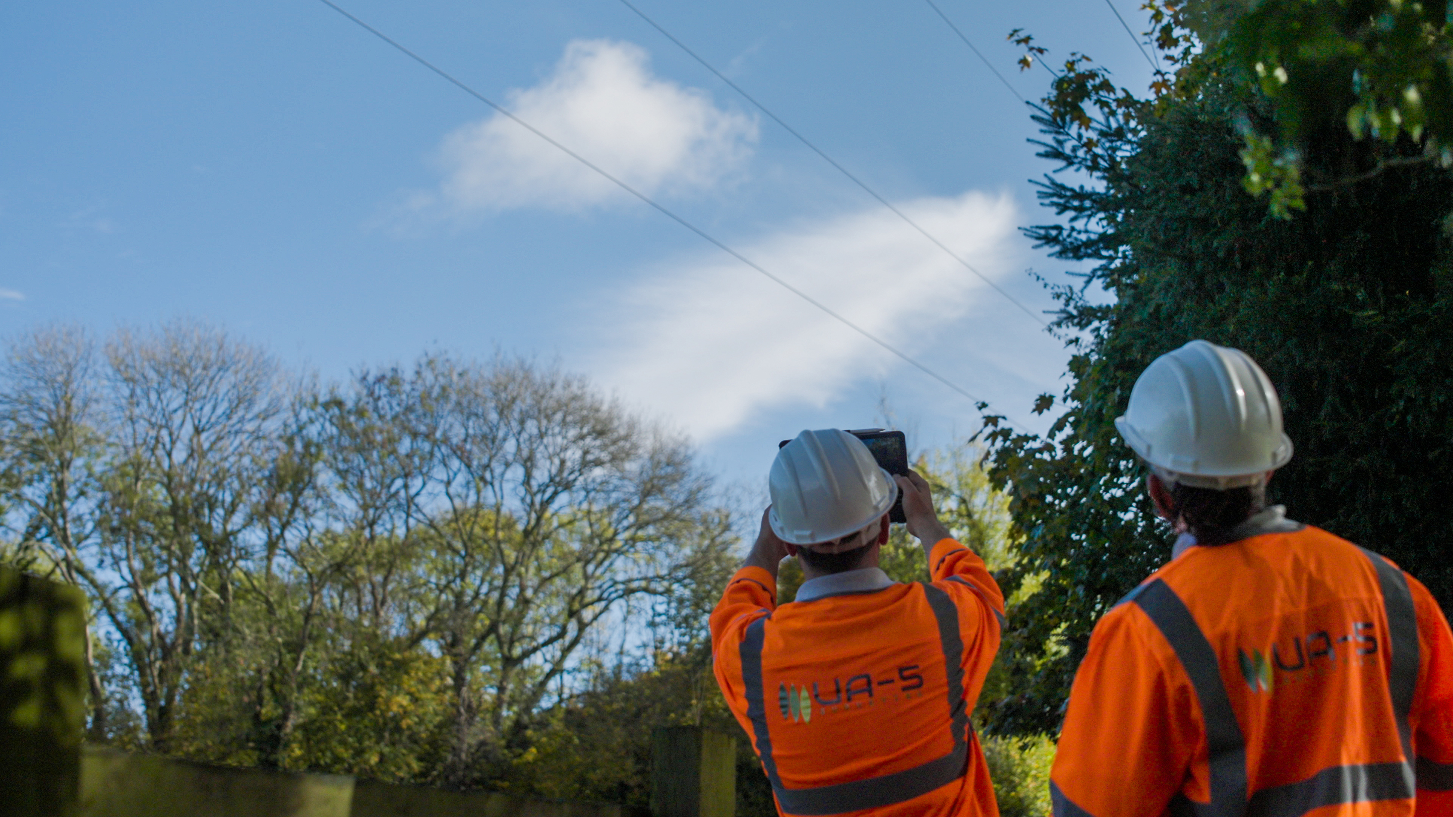
All survey data is spatially referenced from point of capture. Clients receive GIS-compatible outputs that integrate directly with network mapping and asset management systems.
Every photograph is automatically stamped with GPS coordinates and a timestamp at point of capture. This provides irrefutable location and time evidence for every survey record, notification or site visit.
Landowner consents, outage notifications and site documentation are completed digitally at point of survey — eliminating paper, reducing errors and ensuring records are immediately accessible.
Works in progress are visible to management in real time. There is no waiting for end-of-day data uploads or paper forms to be processed — the information is available as soon as it is captured.
Every action — survey record, photograph, consent, notification — is logged with a time, date and user reference. Clients can audit any activity at any point in the programme without ambiguity.
Data can be delivered in any agreed format — Excel, GIS layers, portal upload or PDF. UA-5 configures its platform to the client's downstream requirements, not the other way around.
UA-5's digital operations translate directly into better outcomes for clients. Geotagged photos, timestamps and digital signatures provide complete transparency and remove ambiguity during audits or contractor reviews.
Our structured, standardised templates ensure all documentation is consistent, easy to interpret and ready for operational use — improving downstream planning, enhancing programme efficiency and reducing delays caused by unclear or incomplete information.