Overview

The complete pre-cut survey process

UA-5's in-house team of UA-qualified surveyors provides nationwide support to Tier 1 contractors operating on DNO frameworks. All surveyors hold relevant qualifications including Forestry First Aid, Manual Handling and Working at Height.

We can deliver surveys using our own digital platform or integrate seamlessly with client systems, ensuring data flows directly into your downstream planning and compliance processes.

What we deliver

  • Quick Surveys — rapid vegetation proximity assessments for circuit prioritisation
  • Full SPAN Surveys including compliant specification and supporting Risk Management Documentation
  • Landowner consent acquisition at point of survey
  • Management revisits and contract exit surveys
  • Data delivery in DNO-approved formats (Excel, GIS, portal upload)
  • Weekly progress summaries by block and surveyor output
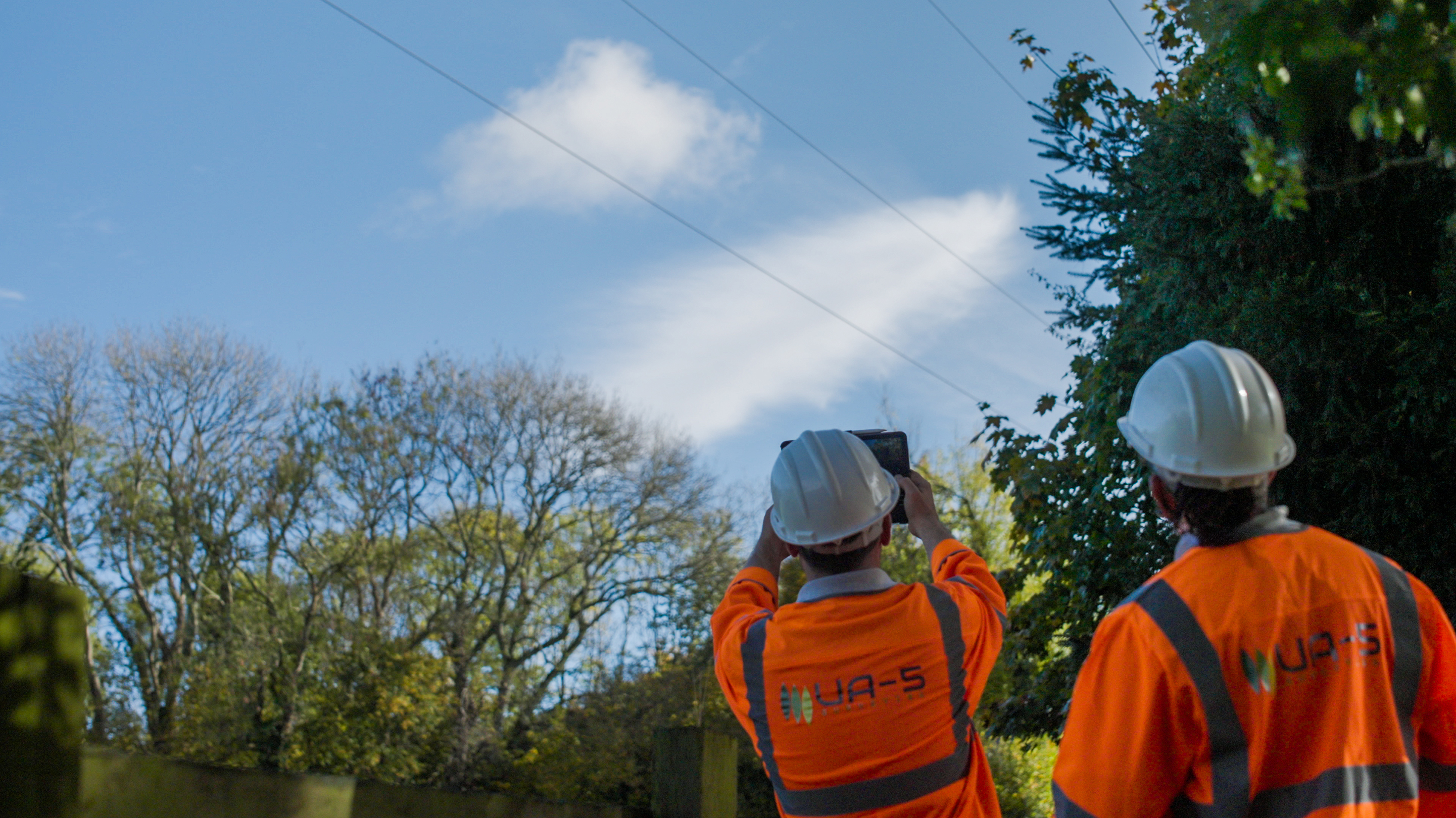
UA-5 surveyors photographing overhead circuit
Our Methodology

From mobilisation to data delivery

01

Pre-Mobilisation

Circuit maps and survey boundaries confirmed with your operations team. Digital mapping layers established and control datasets loaded. Surveyors briefed on area-specific hazards, access requirements and DNO safety protocols before any field activity commences.

02

Field Survey

Vegetation clearance assessments conducted using GPS-enabled tablets provided per surveyor. All span details captured including species, proximity, growth direction, condition and access constraints. Photographs taken at all infringements and risk areas. Landowner consent recorded at point of survey in programme-compliant format.

03

Data Validation & QA

Automated validation checks applied for data completeness and spatial consistency. Manual inspection of high-risk or anomalous spans completed before release. All records reviewed against DNO specification prior to submission.

04

Reporting & Delivery

Clearance priority reports and encroachment data delivered in the agreed format. Weekly progress summaries provided by block and surveyor output. Transparent audit trail maintained for all collected data and consents throughout the programme.

Indicative output: 40–50 surveyed circuits per day per surveyor under standard access and vegetation density conditions, or 3–4 km of surveyed network per day. Exact delivery rates confirmed at mobilisation planning.

Why UA-5 for utility vegetation surveying?

All works delivered in-house

Every surveyor is employed and trained by UA-5, giving clients a consistent standard of output and full accountability throughout the programme.

System agnostic

We operate on our own digital platform or configure to your existing survey application, eliminating the need for data translation or reformatting.

Qualified and compliant

All surveyors hold City & Guilds Level 4 Certificate in Utility Arboriculture Surveying, PTI and/or QTRA qualifications, plus all required health and safety training.

Short-notice mobilisation

We regularly deploy additional surveyor resource at short notice, making UA-5 a dependable partner when programmes accelerate or storm response is required.

Request a utility vegetation surveying proposal

Provide your programme details and we will respond with a tailored proposal and delivery schedule within 48 hours.